
map differently
Build the next generation of dynamic maps and GIS applications, powered by Geo-AI agents and our AI builder.
-
Full manual controlEverything the AI does, you can do by hand
-
Open standardsOGC · OSGeo · cloud-native formats & more
-
Cloud spatial analysisConvert, analyze, extract, in the cloud
-
European sovereigntyEuropean LLMs · EU data hosting · GDPR
One platform, two builders.
Publish a polished web map in minutes, or ship a complete GIS application.
A full GIS in the browser
Convert, edit, analyze, visualize, extract and add widgets, manually or with the AI assistant.
Explore the Map Builder →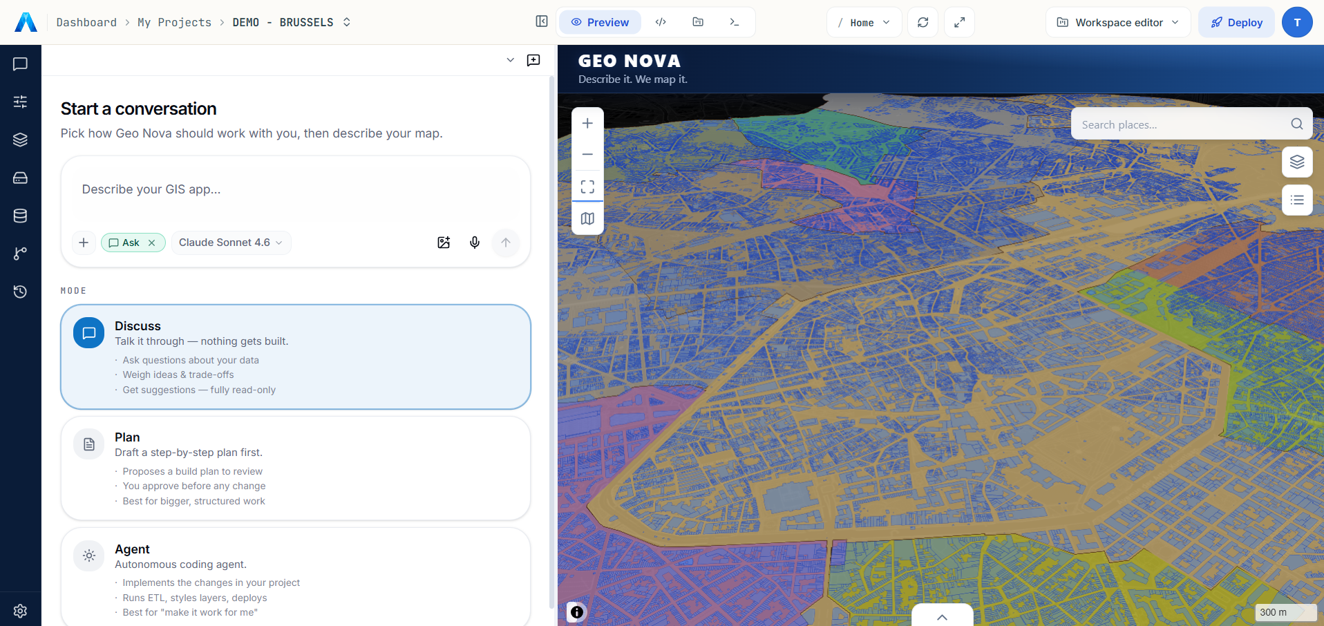
A web GIS IDE
Build complete GIS applications from production-ready templates: configure widgets by hand, deploy a PostgreSQL database in a second, and let the agent build with you.
Explore the App Builder →Connects to your data where it already lives.
Deploy a PostgreSQL database in seconds, stream OGC services, or import cloud-native files straight from any URL: everything lands in your Datastore, typed and ready to map.


RoadmapEvery layer in your Datastore exposed back as OGC API services: Features · Tiles · Maps, via pygeoapi, ready to be consumed by any OGC-compliant client.
Solutions for every sector.

Environment
& Biodiversity
Ecosystem monitoring, species protection and habitat restoration.
Explore →
Urban Planning
& Development
Sustainable planning, land use, urban density and resilience.
Explore →
Mobility
& Transport
Network optimisation, sustainable mobility and accessibility.
Explore →
Risks
& Resilience
Anticipate natural hazards and strengthen territorial resilience.
Explore →
Energy
& Climate
Energy transition, emissions tracking and climate adaptation.
Explore →
Water
& Resources
Quantitative and qualitative management of water resources.
Explore →
Infrastructure
& Networks
Monitoring of critical infrastructure and asset management.
Explore →Environment
& Biodiversity
Ecosystem monitoring, species protection and habitat restoration.
Explore →Urban Planning
& Development
Sustainable planning, land use, urban density and resilience.
Explore →Mobility
& Transport
Network optimisation, sustainable mobility and accessibility.
Explore →Risks
& Resilience
Anticipate natural hazards and strengthen territorial resilience.
Explore →Energy
& Climate
Energy transition, emissions tracking and climate adaptation.
Explore →Water
& Resources
Quantitative and qualitative management of water resources.
Explore →Infrastructure
& Networks
Monitoring of critical infrastructure and asset management.
Explore →




Enterprise-grade security, by design.
Your data is hosted in the European Union, encrypted in transit and at rest. See where your data is processed, and who processes it →
Best-in-class protection
All traffic encrypted via TLS, credentials stored encrypted at rest, EU-only data residency, and 24/7 uptime & DDoS monitoring.
Enterprise access controls
Per-map permissions, role-based access and audit logs. SSO (SAML/OIDC) and customer-managed encryption keys are on the enterprise roadmap.
GDPR & compliance
Hosted in the European Union, GDPR-aligned, with a Data Processing Agreement that applies automatically — nothing to sign. ISO 27001 and SOC 2 controls are built in from day one, certifications are on the roadmap.
Read our Data Processing Agreement →Your journey starts here.
Create your account and start building. Enough AI budget to ship your first map is included.